FAA Part 107 licensed drone photography that gives your listing a perspective buyers can't get from the ground.
Listings with aerial photography generate more views, more showings, and more buyer interest — especially for properties where location, lot size, and surroundings are key selling points.
Ground-level photos only tell part of the story. Aerial photography reveals lot boundaries, proximity to water, neighborhood layout, nearby amenities, and the overall setting of a property — details that matter to buyers but are impossible to capture from eye level.
Austin holds an FAA Part 107 Remote Pilot Certificate, which means every flight is conducted legally, safely, and with proper insurance. This is a supplementary capability that adds value to Austin's full-service real estate offering — included at no extra cost for his listing clients.
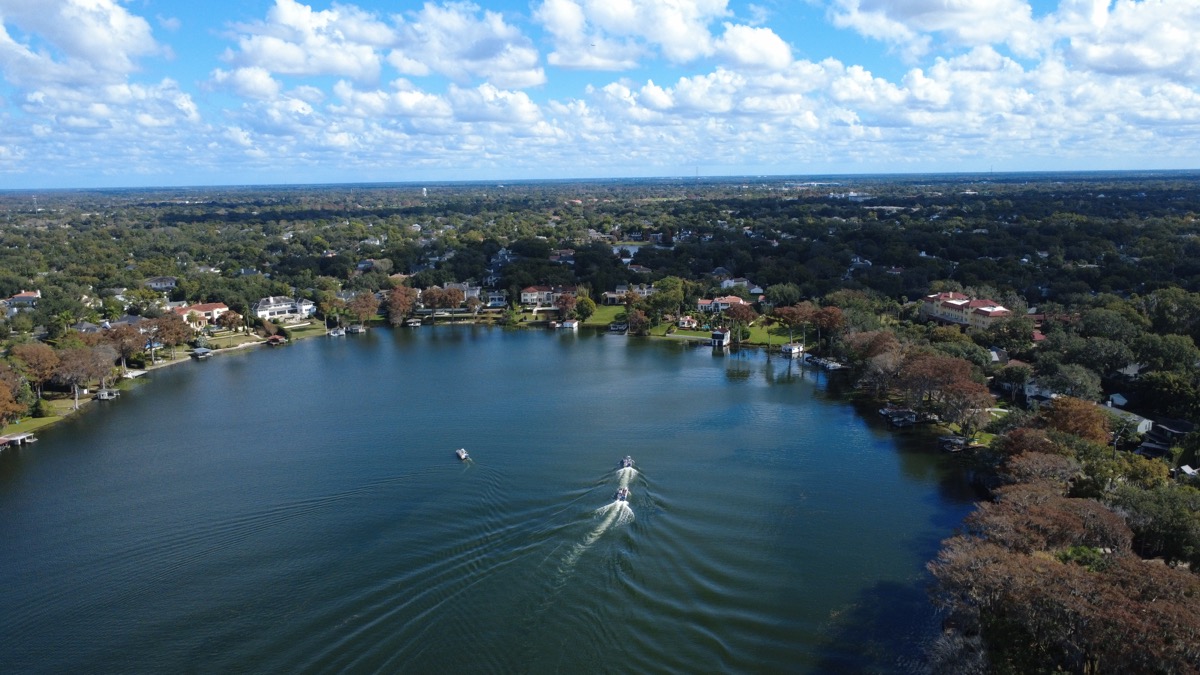
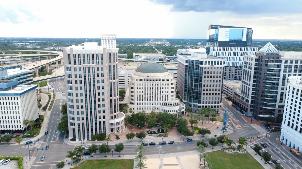
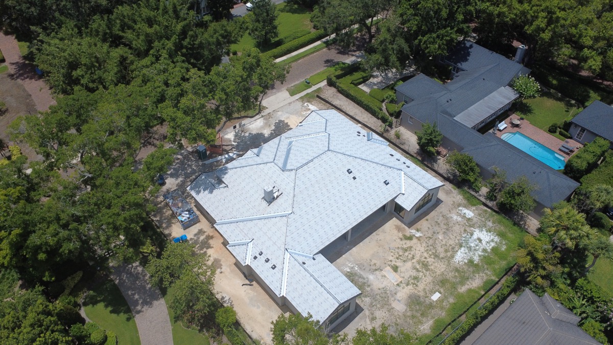
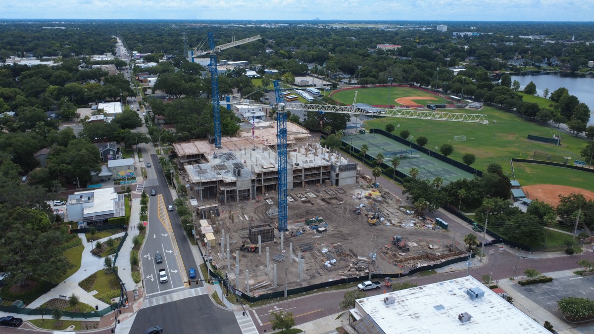
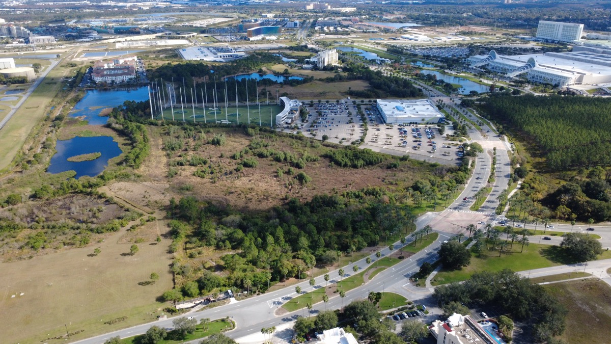
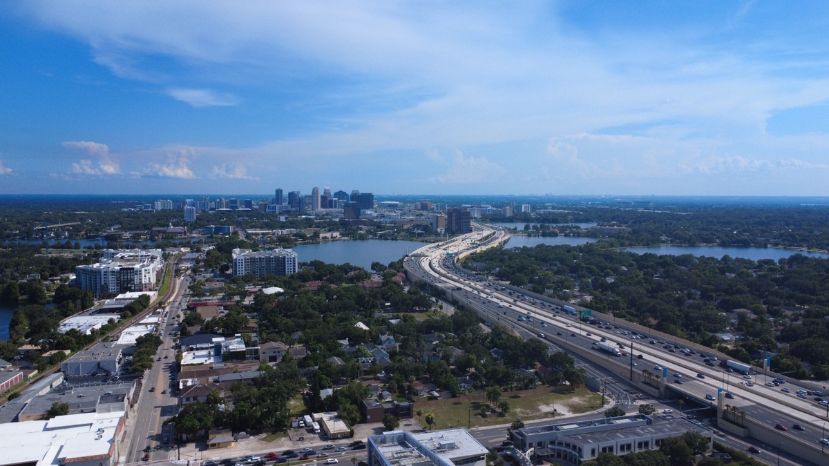
A selection of aerial photos captured across Central Florida — all shot by Austin using professional-grade drone equipment.
Included at no additional charge for Austin's listing clients. Also available for other agents and property owners.
High-resolution aerial photos from multiple angles and altitudes — front, rear, overhead, and wide-angle shots that show the property in its full context.
Smooth, cinematic flyover video that gives buyers a dynamic view of the property, lot, and neighborhood — ideal for online listings and social media.
Orbit and reveal shots that circle the property and highlight architectural details, outdoor living spaces, pools, and landscaping from above.
Wide-angle shots that show proximity to lakes, parks, schools, highways, and shopping — the surrounding environment that buyers care about but can't see in ground-level photos.
While aerial photography is included at no extra cost for Austin's own listing clients, the service is also available to other real estate agents, property managers, and property owners who want to elevate their marketing.
Austin also operates Central Florida Drone Services, a dedicated aerial photography business serving the greater Orlando area. Whether you need drone photos for a real estate listing, a commercial property, a construction site, or a special event — professional aerial photography is available.
Common questions about aerial photography for real estate listings.
Yes, when performed by a licensed pilot. Austin holds an FAA Part 107 Remote Pilot Certificate, which is the federal license required for all commercial drone operations in the United States. Every flight complies with FAA regulations including altitude limits, airspace authorization, and safety requirements. Austin also carries commercial drone insurance for added protection.
No. Aerial photography is included as part of Austin's comprehensive marketing services for his listing clients at no additional charge. It's one of the ways Austin goes above and beyond to market properties effectively. For agents or property owners who are not listing clients, drone photography is available as a standalone service through Central Florida Drone Services.
Aerial photography adds the most value for waterfront properties, homes on large lots, properties with acreage, estates with extensive outdoor features, homes near parks or golf courses, and commercial properties. That said, even standard suburban homes benefit from neighborhood context shots that show proximity to schools, shopping, and other amenities. Austin will advise on whether aerial photography will add meaningful value to your specific listing.
Aerial photos and video are typically delivered within 24-48 hours of the flight. Austin edits and color-corrects every image to ensure professional quality. High-resolution files are provided in formats ready for MLS upload, social media, print marketing, and web use.
Whether you're listing with Austin or looking for standalone drone photography services, reach out to learn more about how aerial imagery can enhance your property marketing.
Austin provides comprehensive real estate services across Central Florida.